395 公路, 十月US 395, October
你当然可以在加州看到枫叶,只不过枫树不太努力Yes, California has maple leaves. No, the maples are not trying very hard
The Bay Area does autumn reluctantly: the trees put it off until December, and then it rains, so there is basically no autumn at all. For the real thing you drive east for half a day, over the crest of the Sierra, and come down the far side. On a Saturday in mid October 2024, I set out.
South on 395#
US 395 runs along the east side of the range, snow mountains on one hand, desert on the other. Bridgeport is the last town before the stretch I had come for. The houses and the maples could pass for New England, but the desert at one end of the road and the snow at the other kept reminding me this was California. I kept driving.

Farther south the highway climbs over a pass and Mono Lake spreads out below, a dirt road running dead straight for the shore. Past Bishop, past Big Pine, I turned off onto a side road into the mountains. The navigation ended at a trailhead, and I started hiking.


California’s little Patagonia?#
The trail follows Big Pine Creek: pine forest first, then talus, and the climbing almost never lets up. The aspens in the canyon had gone fully gold, and a waterfall hung out of a crack in the rock. Something of the flavor was already there. No lakes yet.


Over the last rise, the first lake. The naming here is thrifty: First Lake, Second Lake, all the way up to Seventh. The water is a blue-green that doesn’t look quite real: glaciers grind rock into flour, the flour hangs in the water, and the light scatters into this color.

Twenty minutes on, Second Lake appeared, and Temple Crag appeared with it: a wall of granite hundreds of meters high, standing straight out of the water, a row of spires along the top. ok… Patagonia? I hadn’t seen the real one back then, but the water was blue enough. The name went on first.


By the time I started down, the sun was on the ridgeline. The moon came out first, hanging in a sky that was still bright. It was tiring for real, and worth it for real. When I reached the car, night had closed all the way in.


Hot water, bread, aspens#
Hot Creek, first thing the next morning: a stream winding through a gorge of volcanic ash, its water heated somewhere underground and sent back up, with a few pools of a blue-green that looks faked.

Out of the gorge and into Bishop, I bought a loaf at the old bakery: Sheepherder Bread. An honest name on an honest-looking loaf.


Twenty minutes up the canyon road out of Bishop, the aspens take over. The whole of Bishop Creek canyon was turning, wooden cabins scattered on the hillside with their roofs buried in gold. There is a 15 mph speed limit sign on that road; the people on foot were moving slower than the cars.


At North Lake the mountain lay in the water, right side up and upside down, equally sharp. Lake Sabrina next door is a reservoir, down a notch for the season, white rocks showing along the shore and one small boat sitting out in the middle.


Mono Lake#
In the afternoon I got back on 395 and drove north, and finally saw Mono Lake up close. The water is too salty for fish; what grows in it is stone. Tufa towers form underwater, a little at a time, and they stand exposed now because Los Angeles drew the lake down. There was no wind that afternoon. The water lay flat as glass, and a few birds crossed above the towers.


Home#
I went home on Highway 120, up past Lee Vining to Tioga Pass, through Yosemite’s back door.

Over the crest, the light began to go. Above the fields at the foot of the western slope, the sun turned into an orange ball with no rays at all, and I followed it west. As for what the real Patagonia looks like, I put it on the list.

湾区的秋天向来敷衍:树磨蹭到十二月才变色,变完就开始下雨,所以秋天基本没有。要看真正的秋天,得往东开半天,翻过整条内华达山脉,落到山的背面去。2024年10月中的一个周六,我出发了。
395 往南#
395 号公路贴着山脉东侧走,一边是雪山,一边是荒漠。Bridgeport是我来到沿线景点之前的最后一个小镇。镇子上的房子和枫叶像极了新英格兰,可路两头的荒漠和雪山又提醒我,这里是加州。我继续开。
再往南,公路爬上一个垭口,Mono 湖忽然整个摊在山下,一条土路笔直地扎向湖边。过了 Bishop,过了 Big Pine,在一条岔路上拐进山里,导航的终点是一个登山口,开始hiking。
加州小Patagonia?#
步道顺着 Big Pine Creek 往上,先是松林,然后是碎石坡,爬升几乎没有停过。峡谷里的白杨已经黄透了,一条瀑布从石头缝里挂下来。那个味儿是大概有了,湖暂时还没看到。
翻过最后一道坡,第一个湖到了。这里的湖名起得很省事:第一湖,第二湖,一路数到第七湖。水是那种不太真实的蓝绿色:冰川把石头磨成粉,粉末悬在水里,把光散射成这个颜色。
再走二十分钟,第二湖出现的时候,Temple Crag 也跟着出现了:一整面几百米高的花岗岩墙,直接从湖水里立起来,顶上是一排尖塔。ok… Patagonia? 那时候我还没见过真的那个,但水是够蓝了,名字先起上再说。
下山的时候,太阳已经贴着山脊了。月亮先出来,挂在还亮着的天上。累是真的,值得也是真的。回到车上的时候,天已经黑透了。
地热,面包,白杨#
第二天一早去了 Hot Creek。一条溪流在火山灰的峡谷里拐来拐去,水在地底下被加热过再冒出来,有几个潭子蓝绿得不讲道理。
出山进了 Bishop,在老面包房买了一条 Sheepherder Bread。牧羊人面包,名字和长相都很实在。
从 Bishop 往山里开二十分钟,就进了白杨的地界。整条 Bishop Creek 峡谷都在变黄,山坡上散着一片木头房子,屋顶埋在金色里。路边立着限速 15 英里的牌子,路上走路的人比车还慢。
到北湖的时候,整面山倒在水里,正的和倒的一样清楚。旁边的 Sabrina 湖是座水库,水位下去了一截,露出湖底的白石头,一条小船泊在湖心。
Mono 湖#
下午回到 395 上往北开,终于凑近去看 Mono 湖。湖水咸得养不了鱼,湖里长的是石头:石灰华塔在水下一点点结出来,后来洛杉矶把湖水抽低了,塔就露出了头。那天下午没有风,水面平得反光,几只鸟从塔尖上飞过去。
回家#
回程走 120 号公路,从 Lee Vining 旁边爬上 Tioga 垭口,从优胜美地的后门穿过去。
翻过山,天开始暗下来。西边山脚的田野上空,太阳变成一颗没有光芒的橙红色圆球。我跟着它往西开。至于真的Patagonia长什么样,先记在账上。
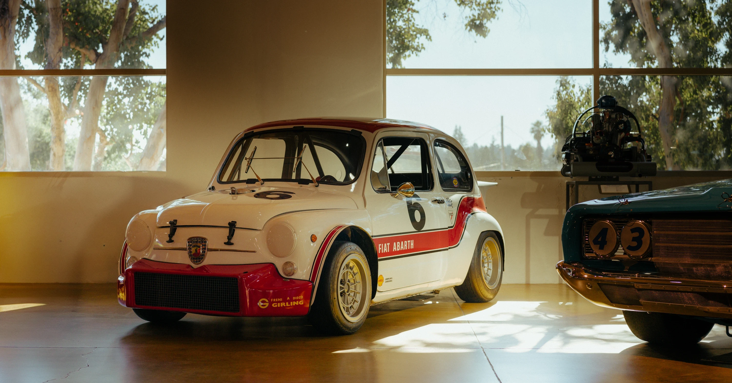
Canepa 博物馆The Canepa Museum
这是一个伪装成 dealership 的博物馆,或者反之?A museum disguised as a dealership, or is it the other way around?
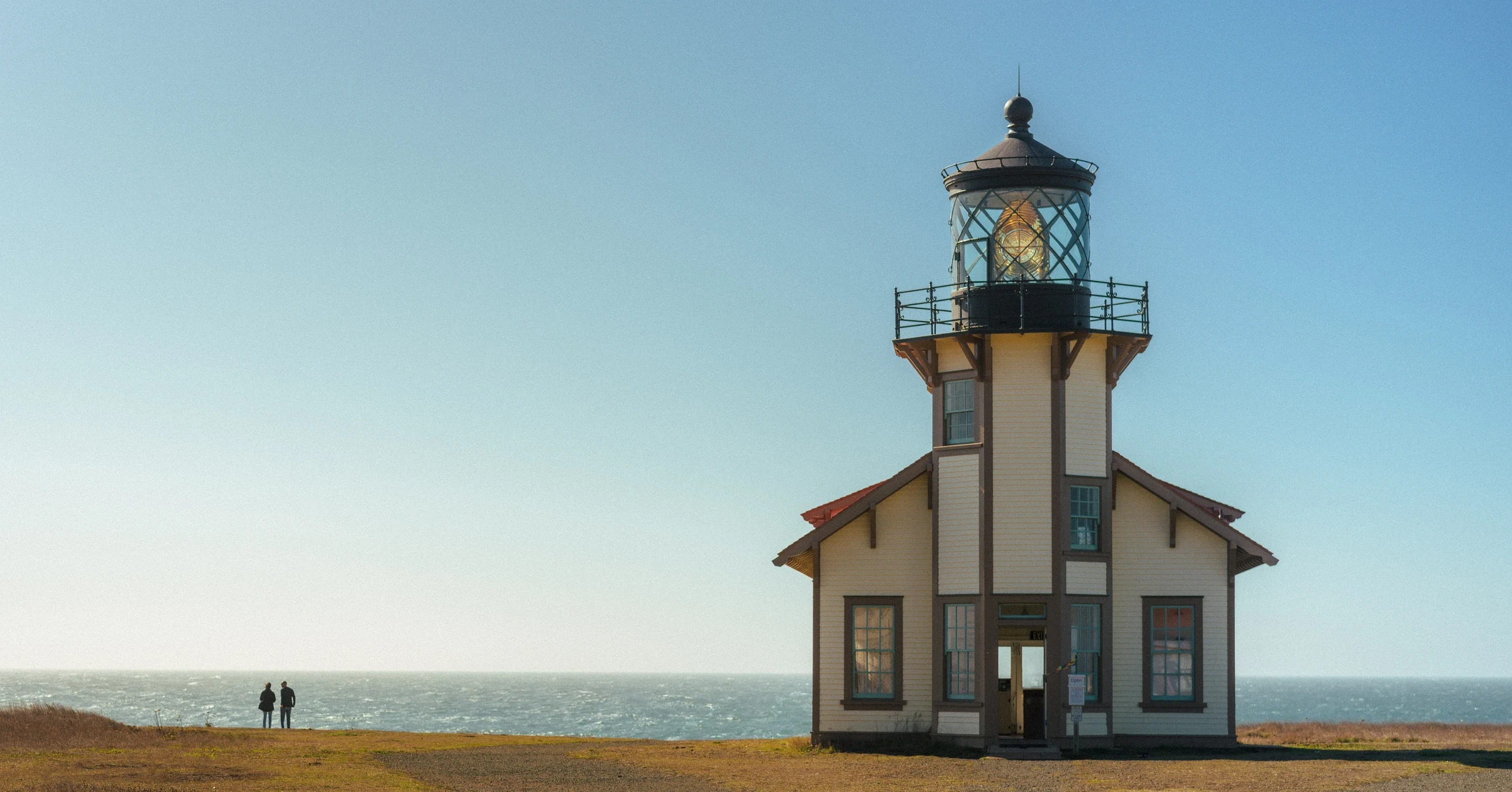
Mendocino, CaliforniaMendocino, California
还是一号公路主题,不过这次一路北上Highway 1 again, but this time northbound all the way
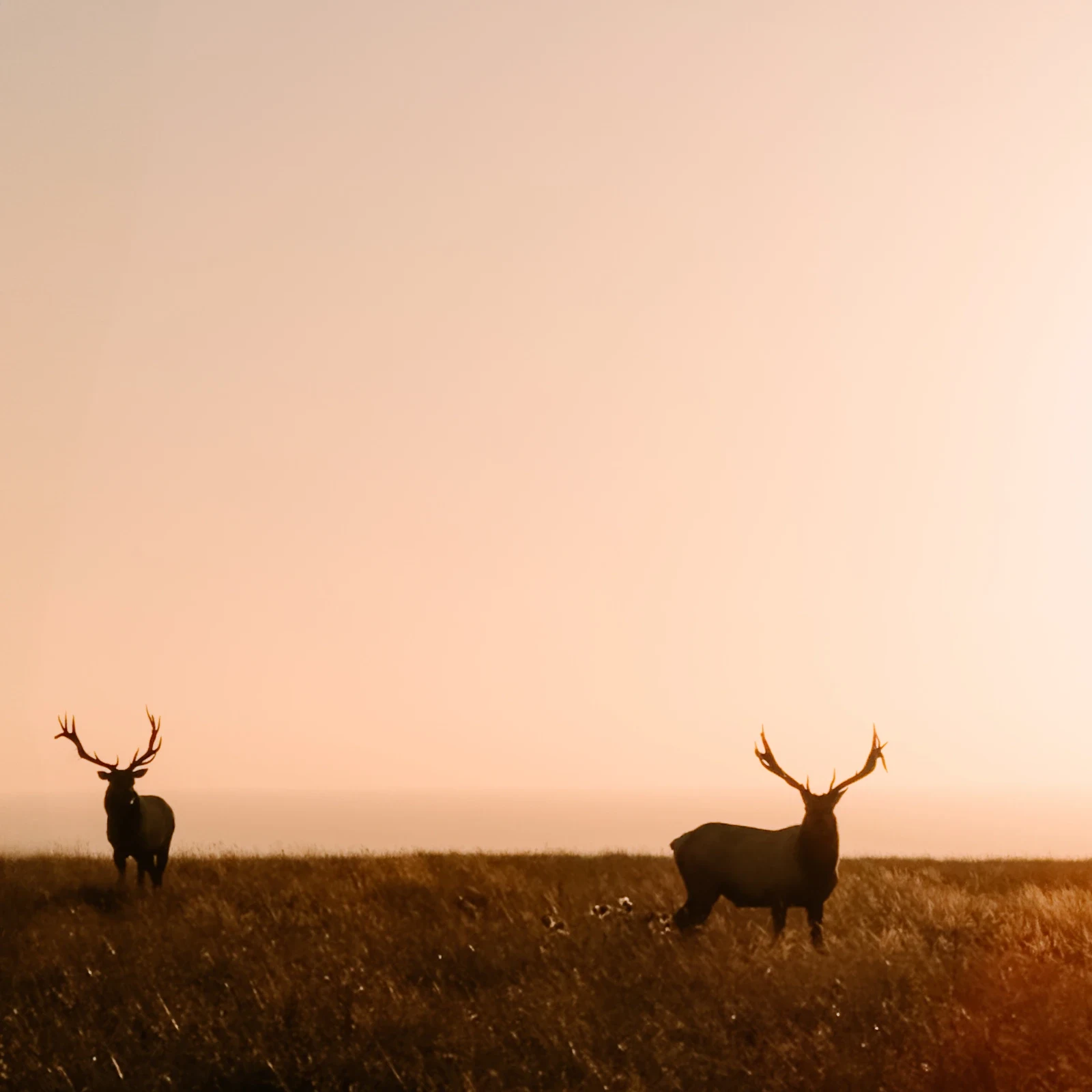
Point Reyes, CaliforniaPoint Reyes, California
oh,我们看到图莱里麋鹿了!Oh, we saw the tule elk!
Comments